
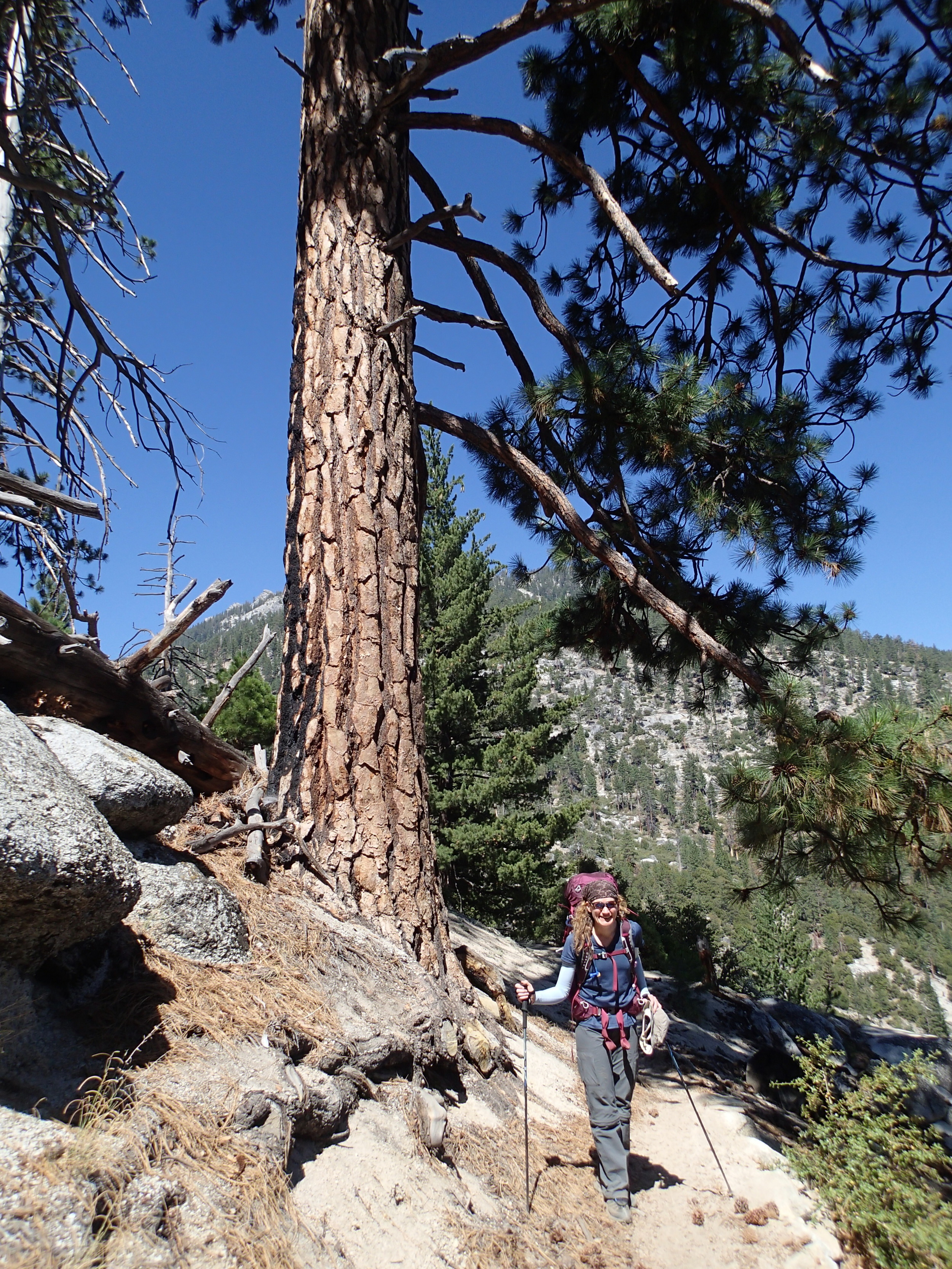
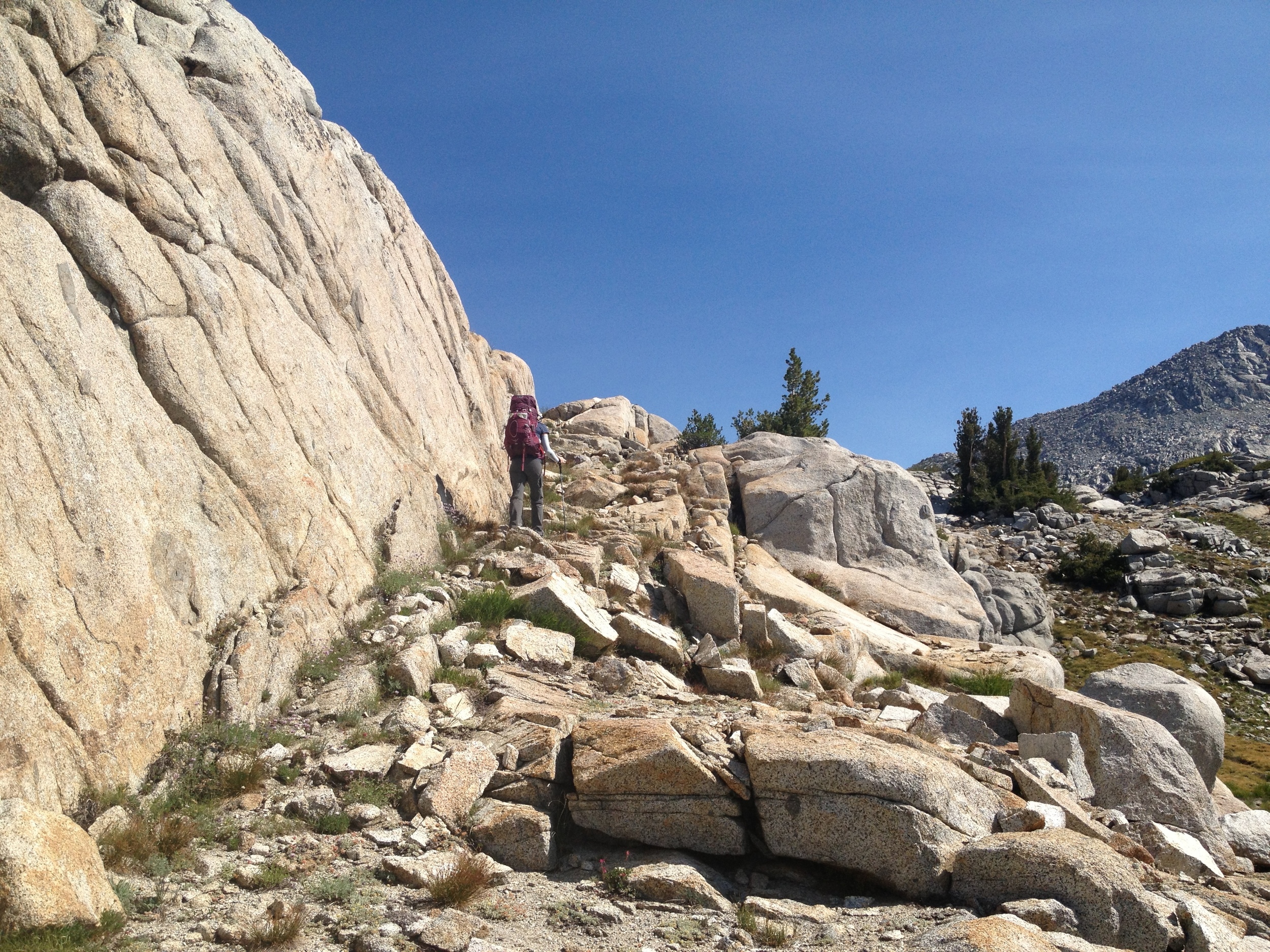
“Steve Roper is either a masochist or in possession of a sick sense of humor, because his High Route starts at the Road’s End trailhead in Kings Canyon National Park, at 5035 ft. On the first day of a long alpine experience, with your heaviest load and in the poorest physical condition of your trip, you’re faced with the toil of a sun-exposed 5600 ft vertical gain”
LOCATION
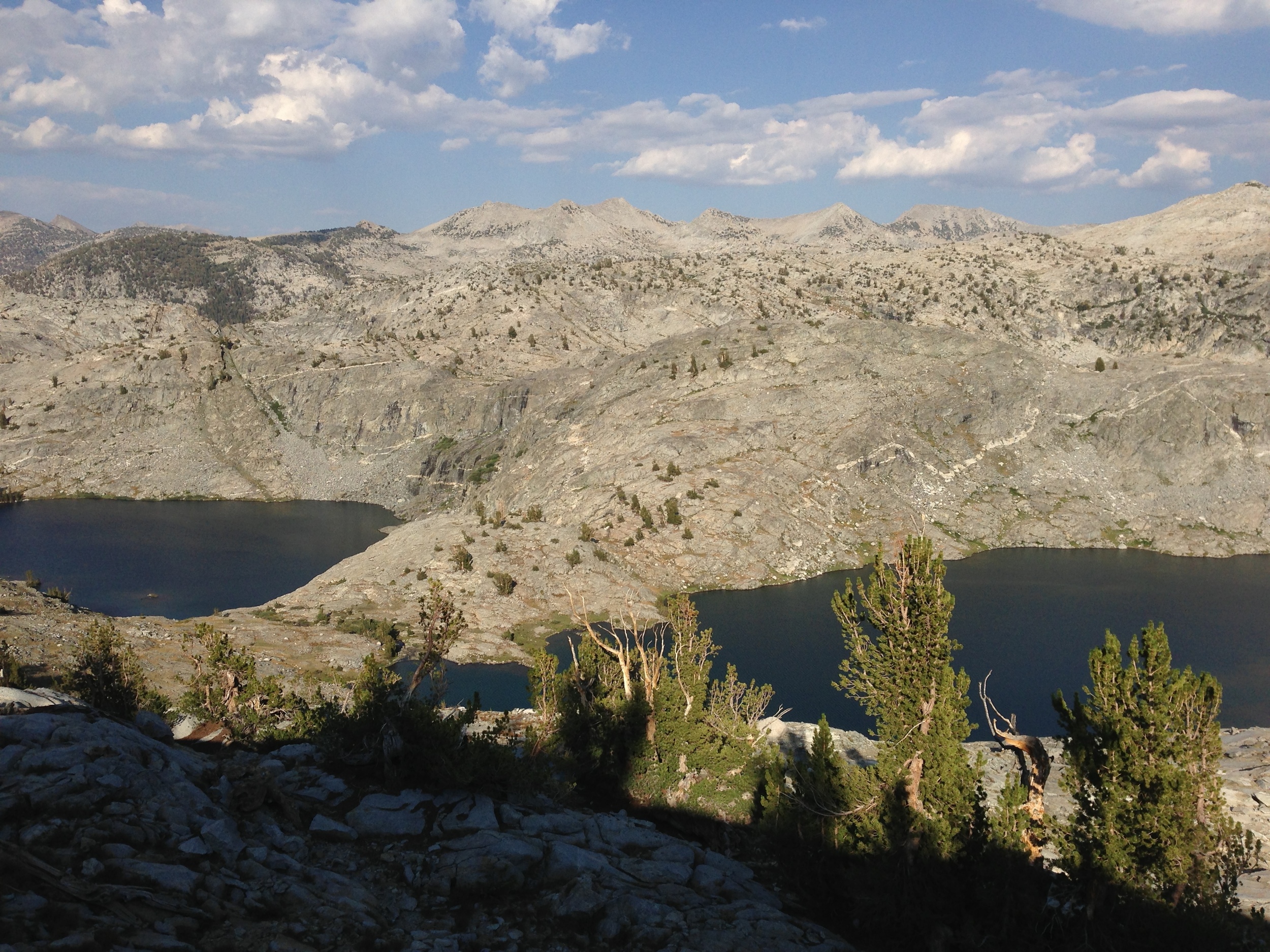
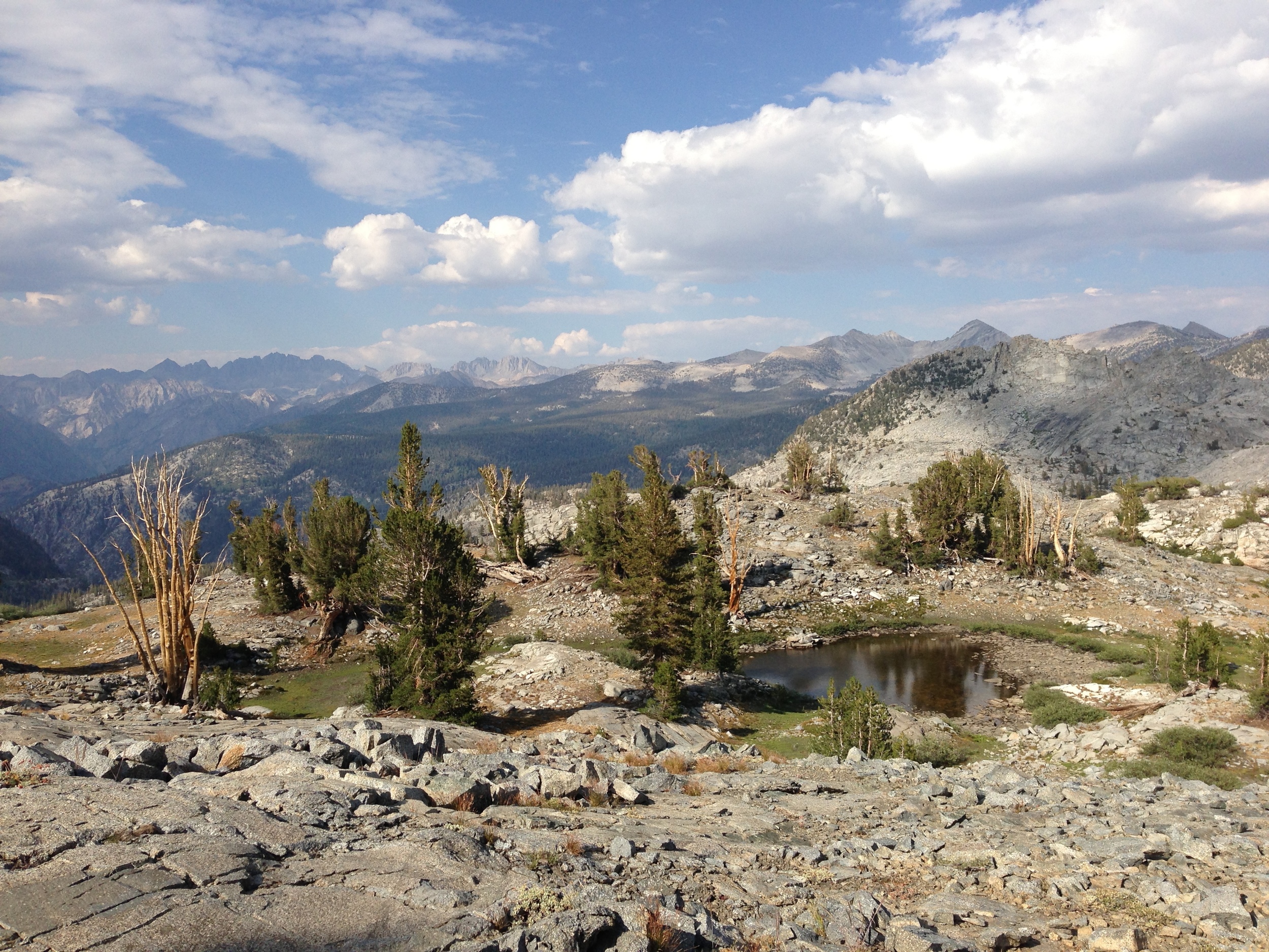
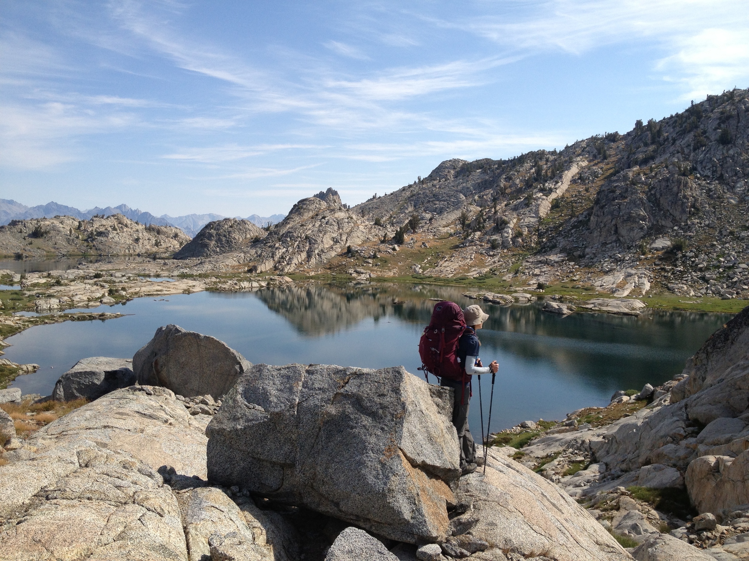
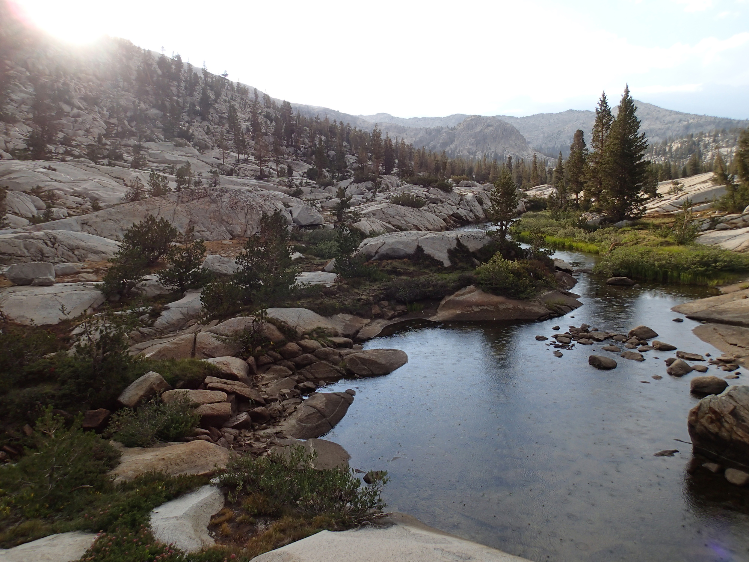
Kings Canyon National Park, CA, USA
MILEAGE
~32 miles on-trail, ~17 miles off-trail
DAYS: 5 SEASON: mid-JULY
STARTING & ENDING TRAILHEAD
Copper Creek
Map: Tom Harrison Kings Canyon High Country Trail Map
GuideBooks: The High Sierra: Peaks, Passes, Trails by RJ Secor, Sierra High Route by Steve Roper, & Kings Canyon National Park by Mike White from Wilderness Press

Also Consider: Amy Lauterbach's Big SeKi Loop

NPS Trailhead Info: www.nps.gov/seki/planyourvisit/traildesc.htm